Available online and from our Information Office in Castlegregory, V92 FH32.
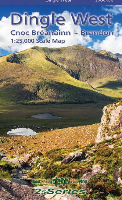
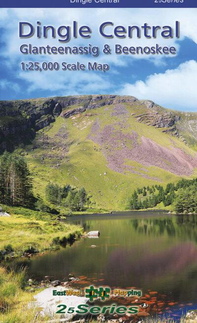
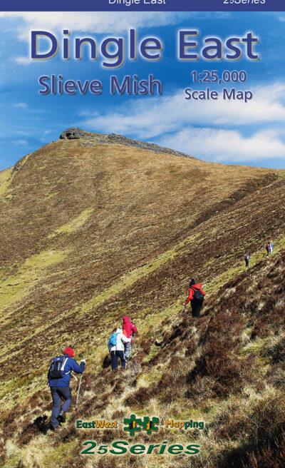
Dingle Penninsula 1:25,000 Maps
Three detailed maps at 1:25,000 scale covering the Dingle Peninsula – from Tralee to West Kerry. Produced to a 25 Series standard, this general topographic map has a 5 metre contour interval for navigation.
Signposted walking trails are depicted. Detailed topographic map with many placenames and heritage sites. Printed on durable Progeo 90gsm map paper. The map sheet measures 1125mm x 820mm, covering 550 sq kilometres, and is folded down to 125mm x 205mm. Published 2023.
We stock the laminated folded version for durability and weatherproofing.

Browse our interactive brochure to learn more about Castlegregory.